
We tackled the 8.85-mile Section 3 on the morning of April 26, 2026. Overnight rain dampened the trail, but it stopped before sunrise.
Rockland Brink’s Robbery Marker
The section picks up at the corner of Waldron Avenue and NY Route 59, where a monument at the corner commemorated the slaying of a security guard and two police officers following an armed robbery in 1981.

NY Thruway
The trail immediately crosses over the New York Thruway.

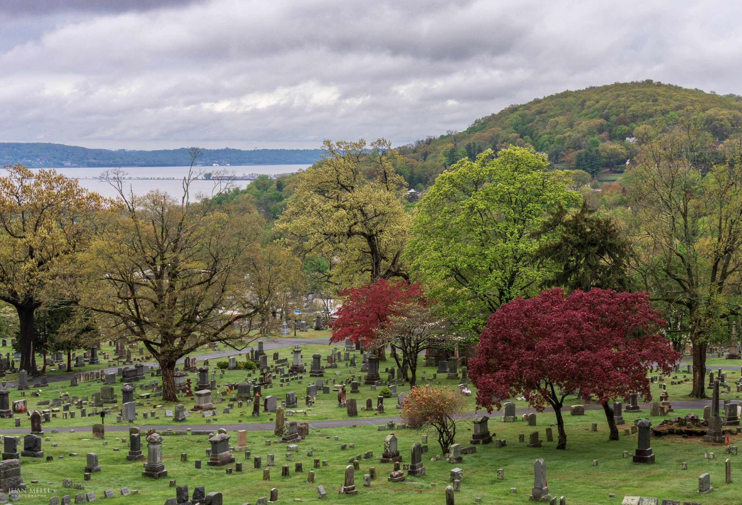
Oak Hill Cemetery
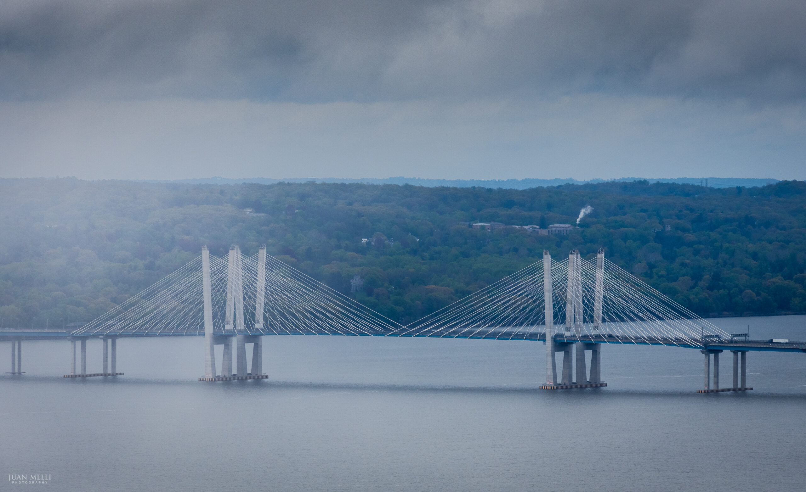
You soon reach Oak Hill Cemetery, with views of the Tappan Zee Bridge and Blauvelt State Park to the south.
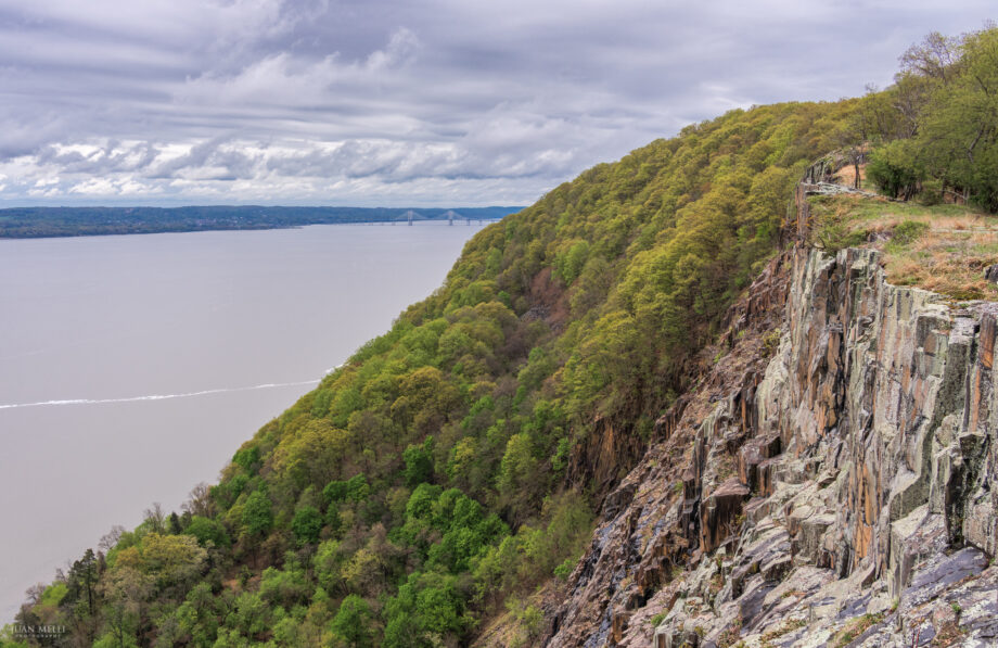
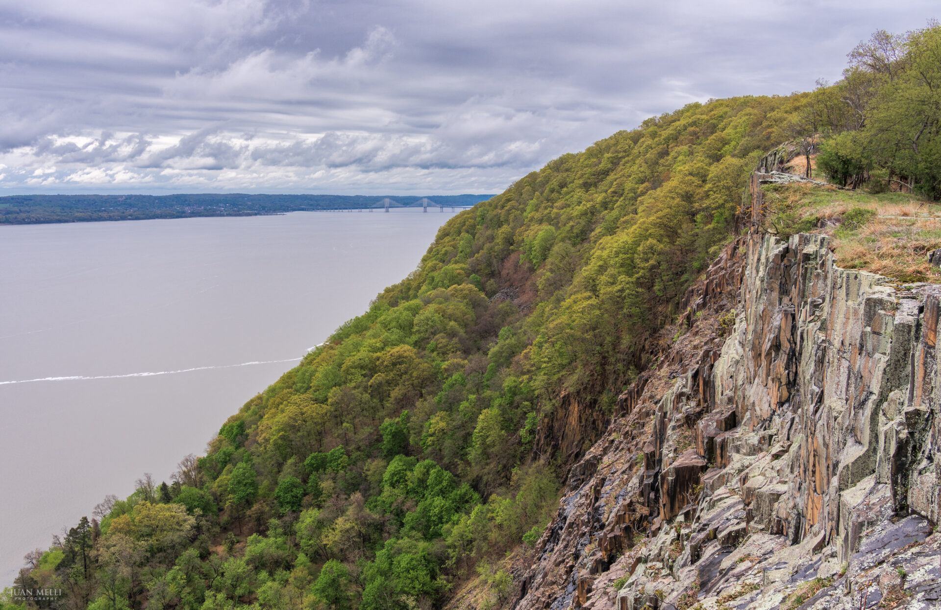
Hook Mountain
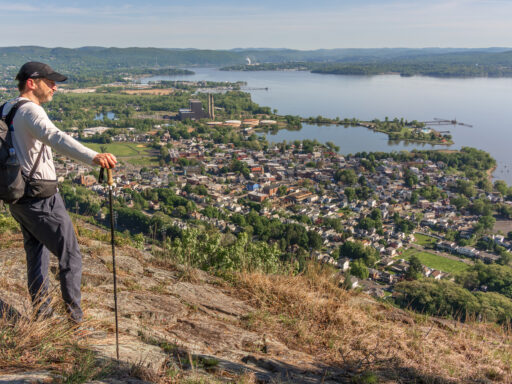
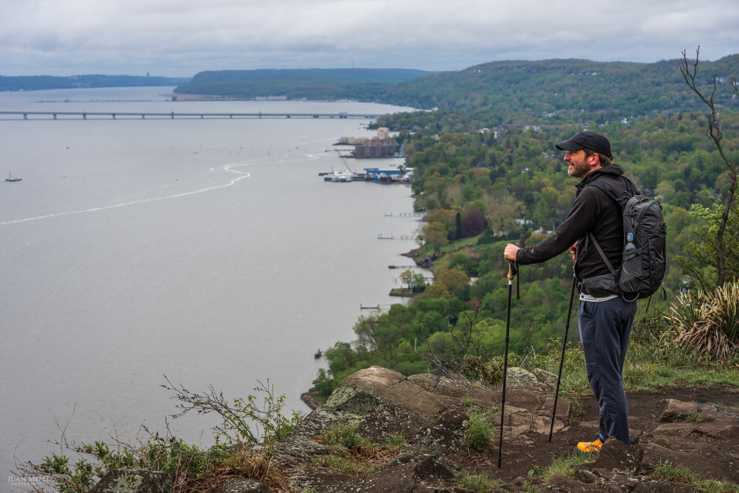
After a total of about 2.5 miles, the trail reaches Hook Mountain State Park, the highlight of Section 3. The summit of Hook Mountain offers 360-degree views. Notice the abundant prickly pear cacti along the slopes of the ridge, where they get full sun and fast-draining soil.
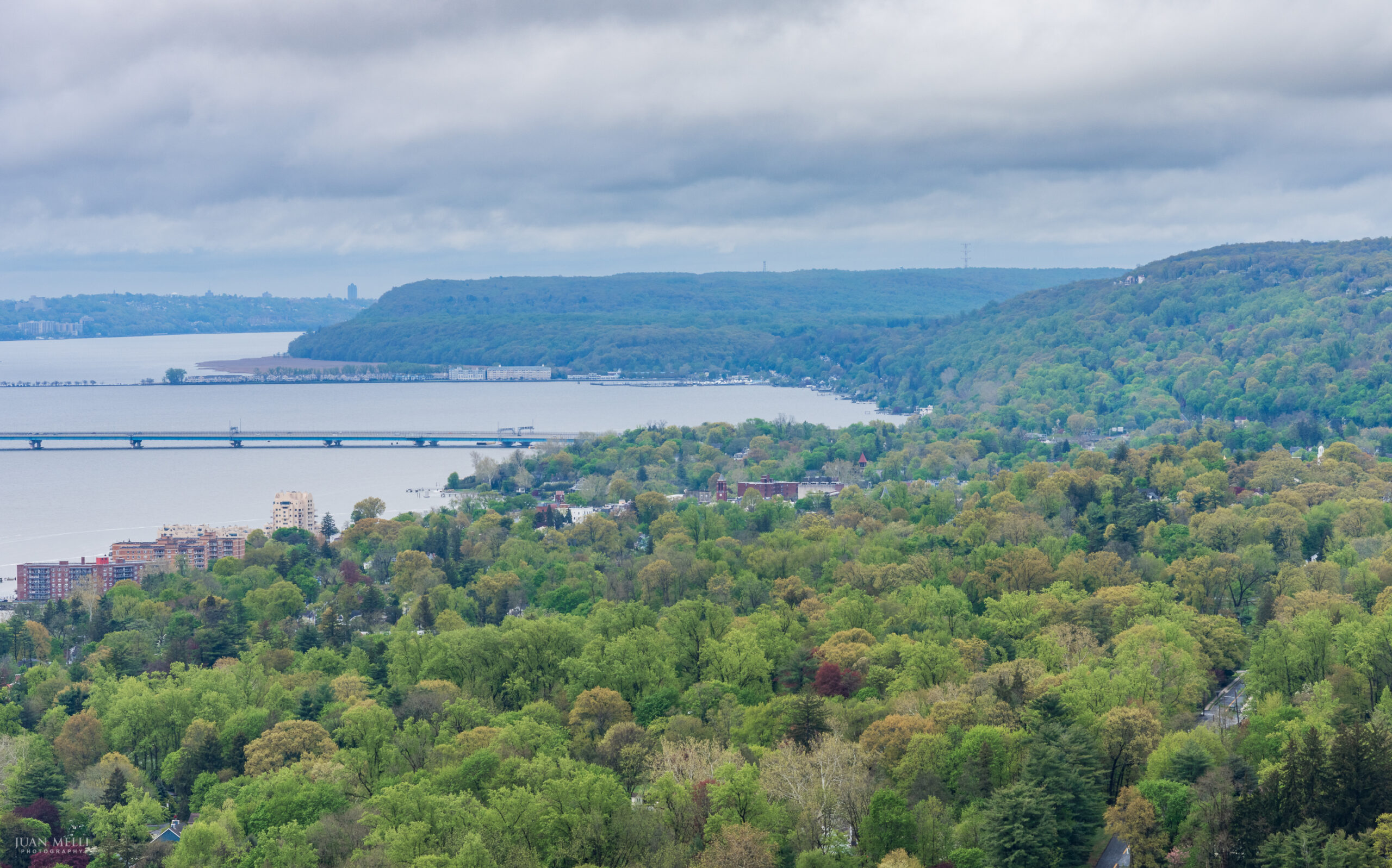

As you continue north, there are more opportunities for views along the river and to the south.
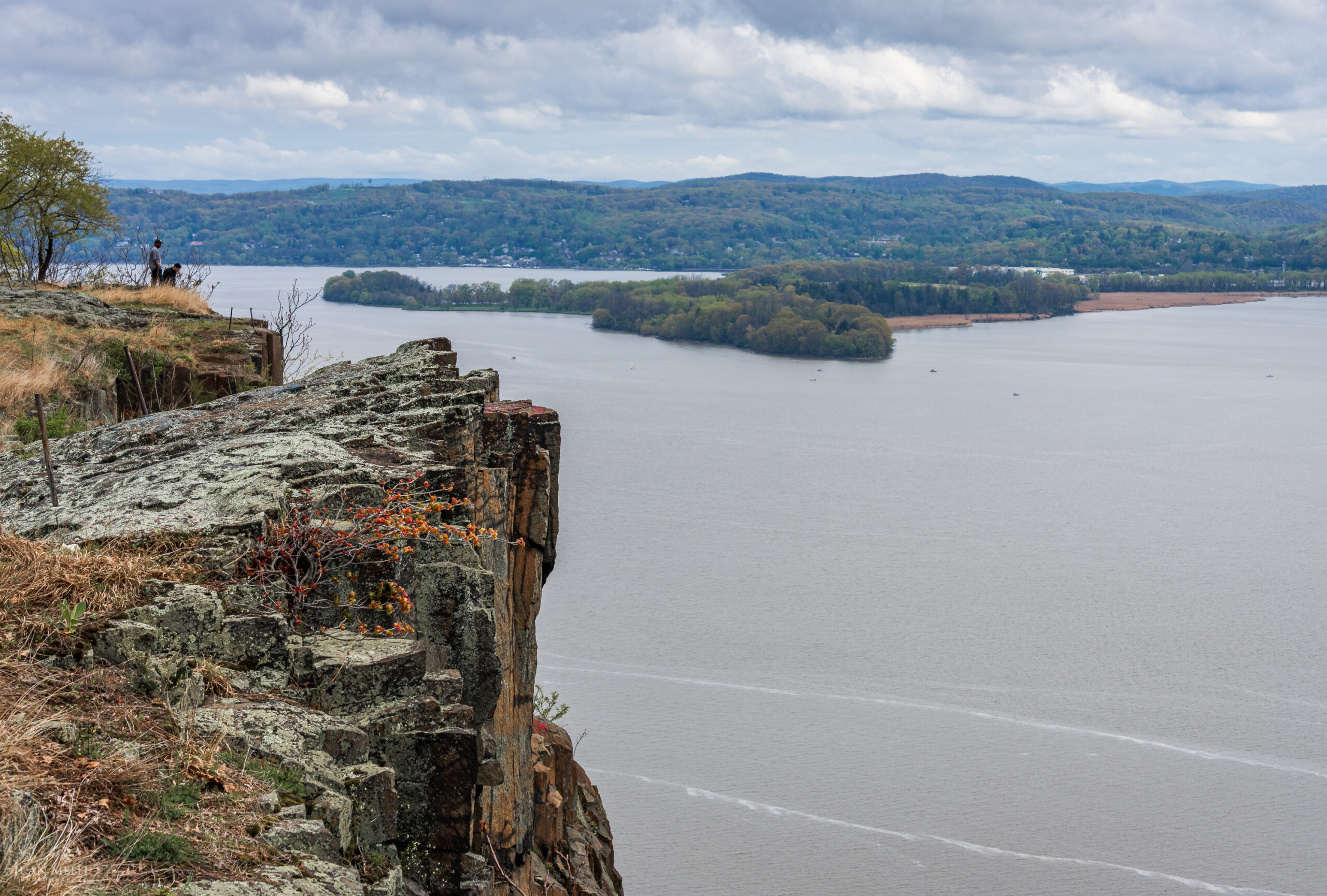
As the Long Path reaches the northern end of the ridge and is about to begin its descent, consider taking the unmarked footpath that forks right (northeast). This path takes you along the cliffs of the mountain, a much more scenic detour with expansive views north and south along the river.

Hook Mountain cliffs
To the north, Croton Point Park is visible on the east side of the river.
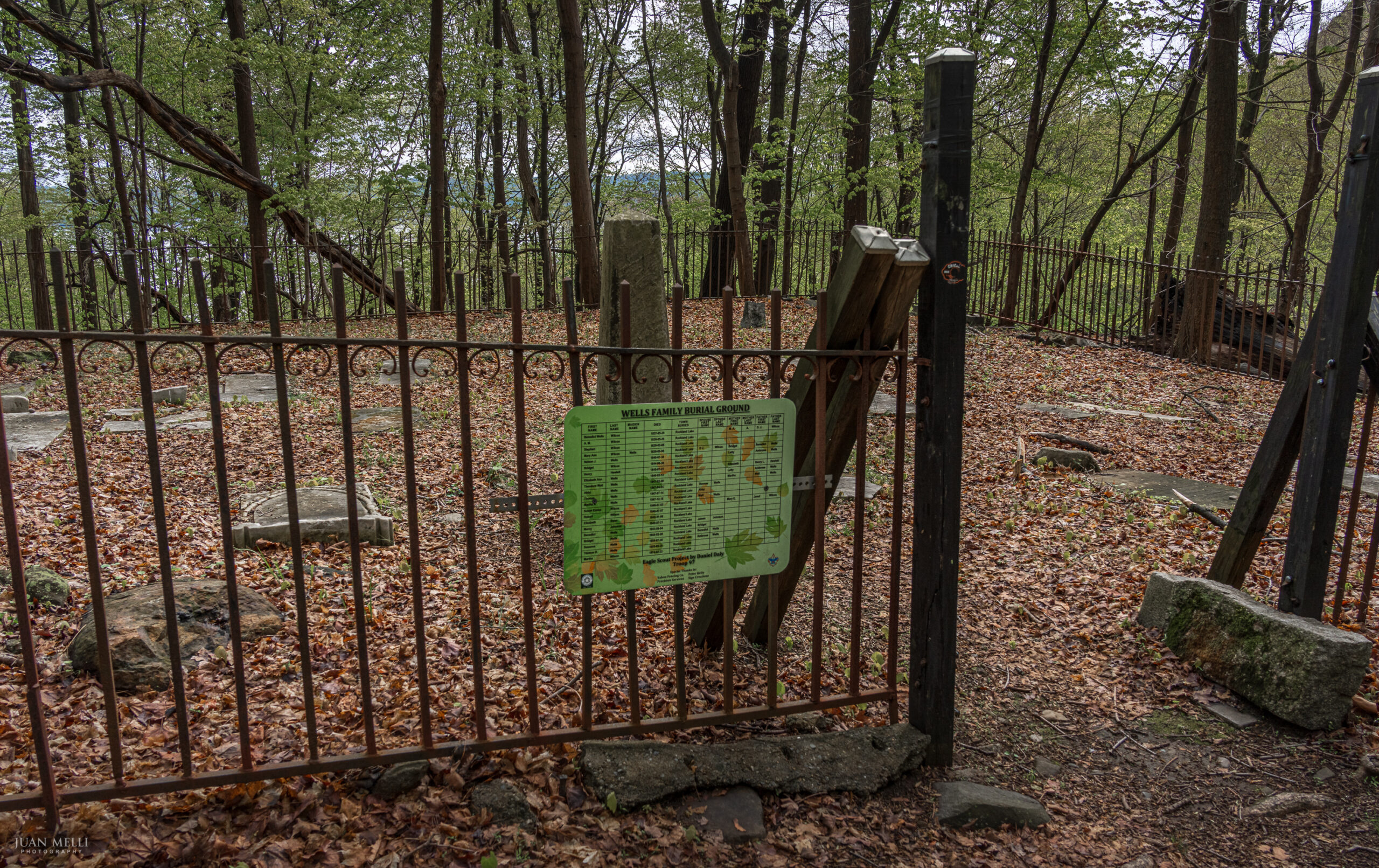
Wells Family Cemetery
After a steep descent, the trail crosses Landing Road, and soon reaches the small Wells Family Cemetery. A sign on the fence created as part of an Eagle Scout project displays some genealogical data on those buried here.
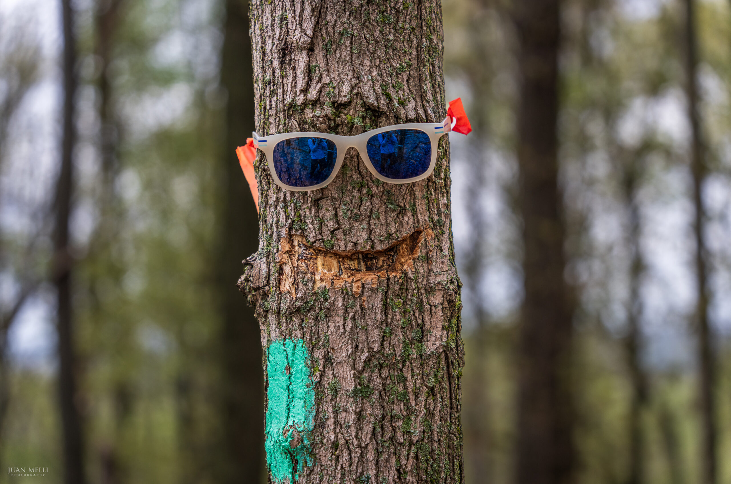
Further along, you might spot a tree with sunglasses and apparently a smile carved into it.
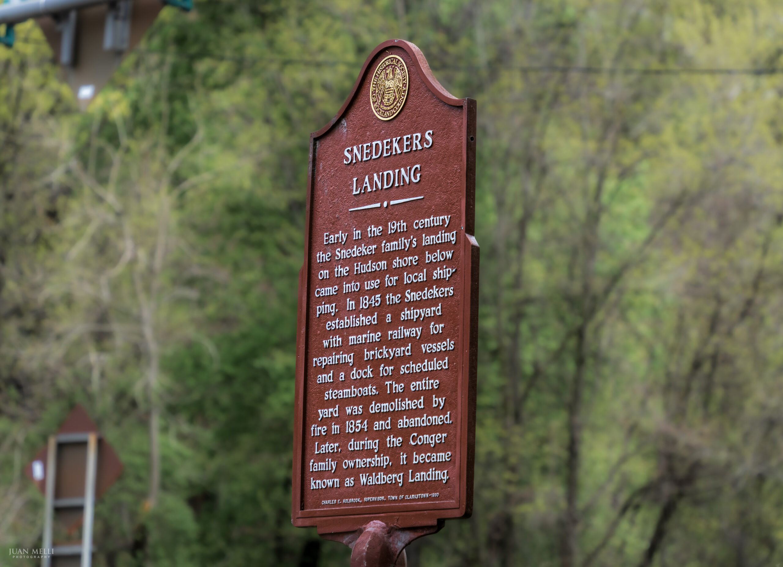
Snedekers Landing
The section ends where the trail reaches Route 9W just east of its intersection with NY Route 304. Here, there’s a historical marker for Snedekers Landing and a dirt parking lot a short distance in the woods.
Discover more from From My Perspective
Subscribe to get the latest posts sent to your email.